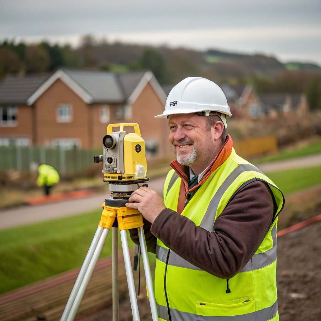
Experienced land surveyors delivering accurate topographic surveys across the UK
My Topographic Surveyor UK is a leading provider of land survey services across the whole of the UK. Our team of experienced topographical surveyors combines cutting-edge survey equipment with decades of expertise to deliver accurate topographic surveys for property buyers, sellers, architects, and land developers.
Founded by experienced land surveyors with a passion for precision and professionalism, My Topographic Surveyor UK has grown to become one of the most trusted names in topographical surveys. We serve clients across the UK, from small residential boundary surveys to large-scale commercial land development projects.
Our mission is simple: provide accurate topographic survey data using highly specialised survey equipment, delivered by qualified surveyors who are accredited under RICS, CIOB, and RPSA. Whether you need a standard land survey for a property purchase or a detailed topographic land survey for planning permission, our team has the expertise and technology to deliver exceptional results.
We understand that every survey is crucial to your project's success. That's why we invest in the latest total stations, laser scanning technology, and GPS equipment to capture every natural and man-made feature on your area of land. Our survey process is thorough, our survey drawings are detailed, and our customer service is second to none.
Our experienced land surveyors are dedicated professionals who bring expertise, precision, and personal service to every topographic survey project.
Senior Land Surveyor & Operations Director
With over 25 years of experience in topographic surveying, Richard leads our team with exceptional technical knowledge and a commitment to accuracy. He oversees all major land survey projects and ensures our survey specifications meet the highest industry standards. Richard's expertise in boundary disputes and measured surveys has helped hundreds of property buyers and developers across the UK.
Senior Topographic Surveyor
Emma specializes in topographic land surveys and utility mapping. With 15 years of experience using total stations and laser scanning equipment, she delivers detailed survey drawings for architects and land developers. Emma's attention to detail ensures every natural and man-made topographic feature is accurately captured in our survey data. She's passionate about providing accurate topographic surveys that exceed client expectations.
Land Survey Specialist & Technology Lead
Thomas brings cutting-edge technology expertise to our surveying services. With advanced training in 3D laser scanning and GPS surveying, he ensures we use the most advanced survey equipment available. Thomas manages our tree surveys, measured building surveys, and complex topographical surveys. His innovative approach to the survey process has streamlined our operations while maintaining exceptional accuracy across the whole of the UK.
My Topographic Surveyor UK maintains the highest professional standards through membership in leading industry bodies.
Our experienced surveyors are RICS members, ensuring compliance with strict professional standards for all land survey services. RICS accreditation guarantees technical competence, ethical practice, and continuous professional development in topographic surveying.
CIOB membership demonstrates our expertise in building surveys and construction-related topographical surveys. This accreditation ensures our surveyors understand the broader context of land development and architectural requirements.
RPSA accreditation validates our commitment to professional surveying standards and best practices. Our topographical surveyors undergo regular training to maintain this prestigious accreditation and stay current with industry developments.
Get your free quote for accurate topographic surveys from our team of RICS, CIOB & RPSA accredited surveyors.